- Start: Schafer State Park
- Finish: Brucepoint County Park
- Distance: 80.8k
- Elevation: 408 (747) meters
I have two numbers for the elevation today. The numbers from my bike GPS are 408, but that is suspect. There were a couple of times when I was chugging along, barely making 10-12K but the GPS said I was going down hill. I suspect that the heavy cloud cover was throwing of elevation accuracy significantly. Therefore I’ve also included the numbers from Bruce’s maps as well (747 meters)
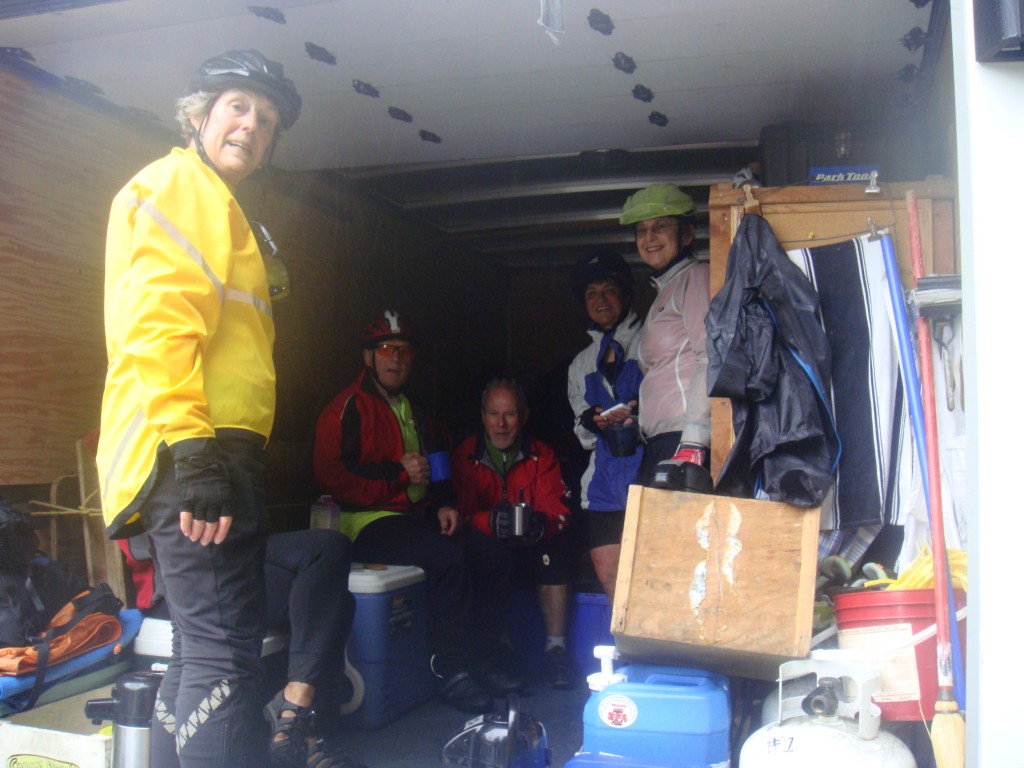 Today we had a rainy day. I’m sure it’s the only one that we will have for the trip:-) It really wasn’t all that bad, but it was a fairly constant drizzle most of the time when we were riding. Fortunately it stopped after we arrived at our campsite for the evening. Another great camp site.
Not a very eventful day. Pretty much heads down in the rain. Our cook team was exceptional in helping us cope with the rain. We had our coffee break in the back of the truck as well as lunch. Dawn greeted every arriving rider with a chocolate and Jean was doing valet bike parking. A very nice touch.
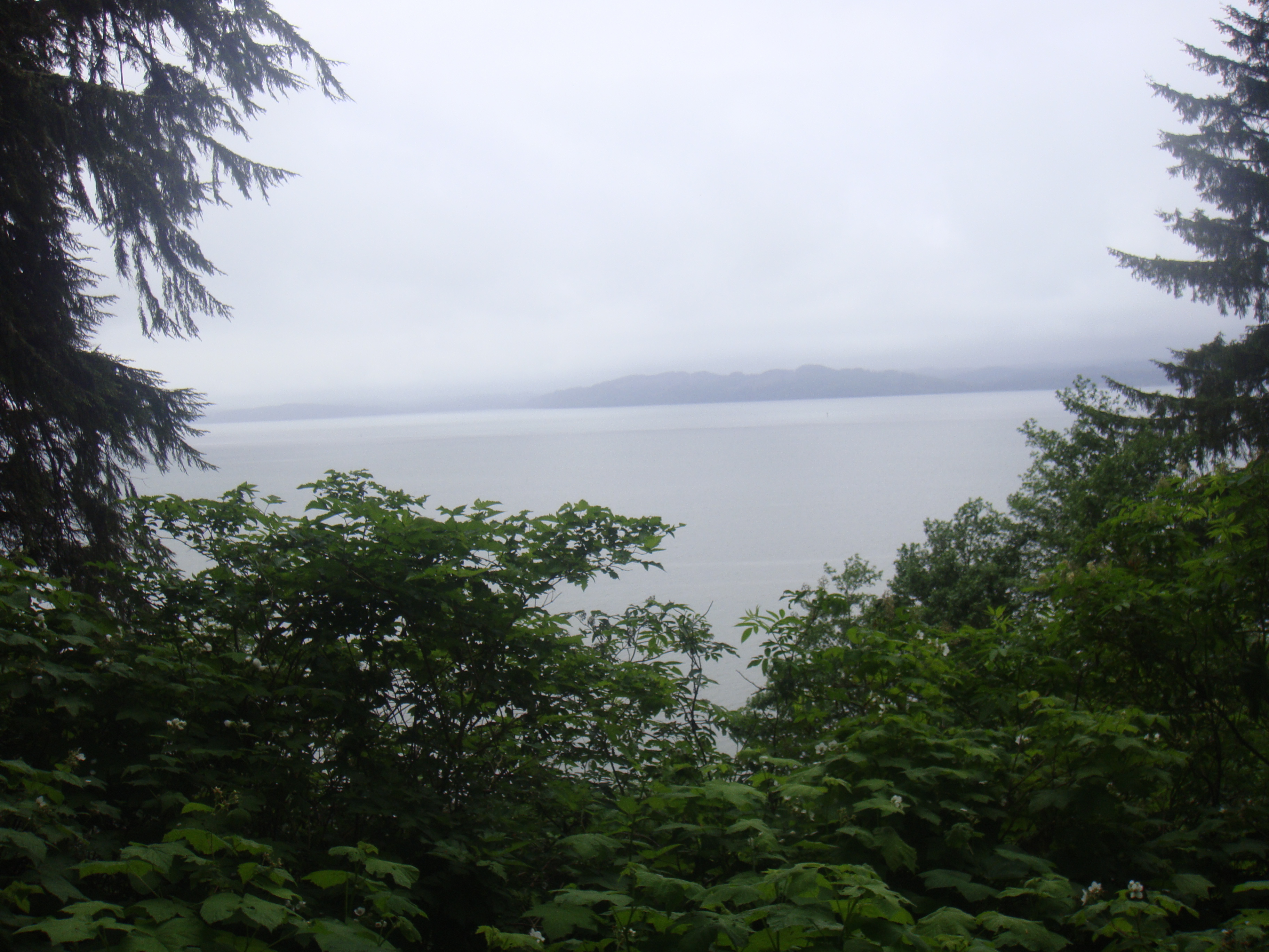 We completed the traverse of the Olympic peninsula today and have a nice view of the Pacific Ocean from our campsite.
From here we will travel the coastal route for a few days.